Choose a place
Select an area on an interactive globe. Start with a landscape that sparks an idea.
FROM REAL WORLD TO YOUR WORLD EARLY ACCESS
Turn satellite imagery and geographic data into editable 3D environments for Unreal Engine 5. Choose a location, generate your starting point, and shape it into your world.
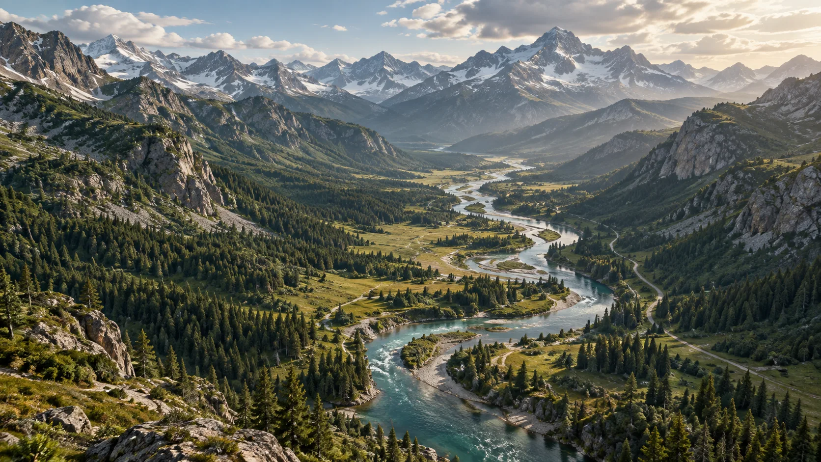
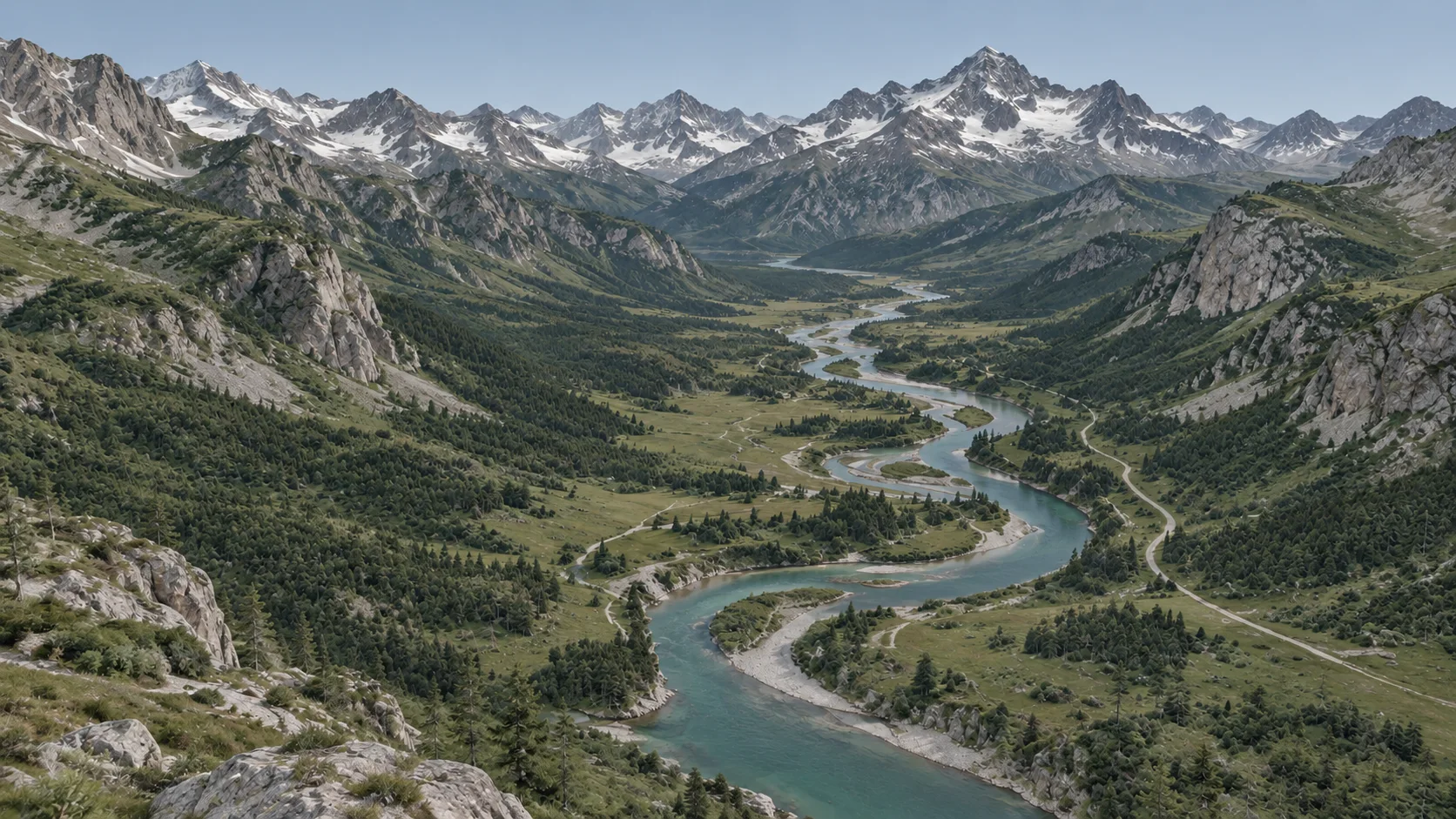 SATELLITE-STYLE IMAGERY TERRAIN ENVIRONMENT Illustrative preview
 FOR UNREAL ENGINE 5Real-world data / Editable by design / Yours to shape
01 / THE WORKFLOW
Less time starting from nothing.
More time making it your own.
Select an area on an interactive globe. Start with a landscape that sparks an idea.
Configure terrain and surface details. Turn geographic data into your starting point.
Bring your environment into Unreal Engine and keep building, editing, and experimenting.
02 / A NEW STARTING POINT
Choose your corner of the world.
Find the foundation for your next one.
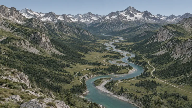 ALPINE STUDY
ENVIRONMENT SETTINGS
Illustrative controls. No environment is generated here.
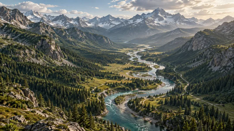 TERRAIN PREVIEW
Balanced terrain · Alpine palette
YOUR WORLD, YOUR WAYIllustrative preview
03 / UNREAL INTEGRATION
The intended landmeld plugin workflow brings your environment into Unreal Engine 5, so you can keep shaping the world with the tools you know.
Native-system integration is planned. These previews illustrate the concept; supported features and plugin availability will be confirmed during early access.
Help shape what comes next04 / MADE FOR YOUR NEXT WORLD
Ground your next level or open world in a landscape with a sense of place.
Explore an idea in a geographic context before taking it further.
Start with real terrain as a foundation for your simulation environment.
05 / A FEW THINGS TO KNOW
We're building landmeld in early access.
Here’s what we can share today.
landmeld is in early access. Access timing and the initial feature set will be confirmed during early access.
The intended workflow uses a plugin to bring generated environments into Unreal Engine 5. Plugin availability and supported engine versions will be confirmed during early access.
That is the goal: a starting point you can shape through Unreal’s native systems. The supported terrain, material, vegetation, road, and water editing workflows will be confirmed during early access.
Geographic coverage depends on available imagery and elevation data. Supported regions, data resolution, and any coverage limits will be confirmed during early access.
The intended pipeline combines satellite imagery, elevation data, and physically based materials for terrain and surface textures, with vegetation, trees, roads, and water. The available generation options will be confirmed during early access. It is a starting point, not an exact reconstruction.
EARLY ACCESS / OPEN POSSIBILITIES
For the worlds you’ve been imagining.
And the places that inspire them.